
Air Supply Is Now Frontier Precision Unmanned
Air Supply has earned the reputation of being a trusted source for UAS products for customers across the nation.
Air Supply is now part of our expanding Frontier Precision Unmanned team.
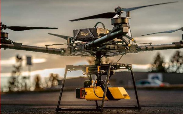
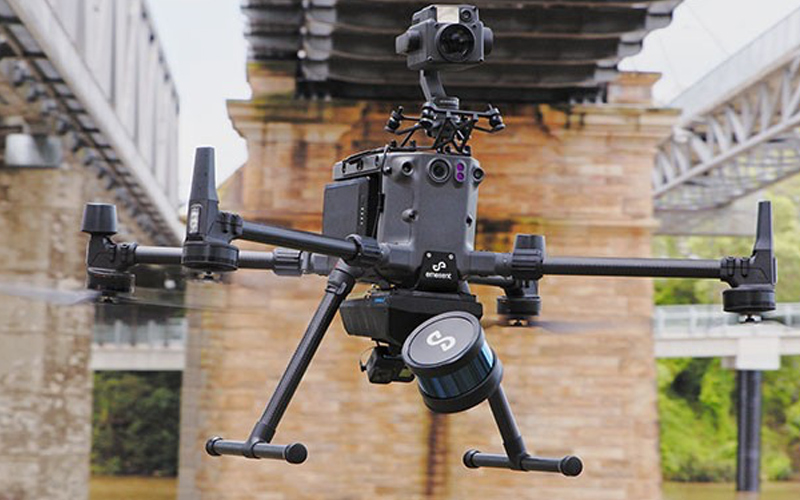
This means even more unmanned technology and expertise – with the latest hardware, sensors, software, training, services solutions, and the components you need to build your own custom drones.
Just as important, you can lean on our experience and knowledge to help navigate the hectic airways of the UAS industry.

You will be automatically directed to the Frontier Precision Shop, or you can go directly to
